Global Contour Model
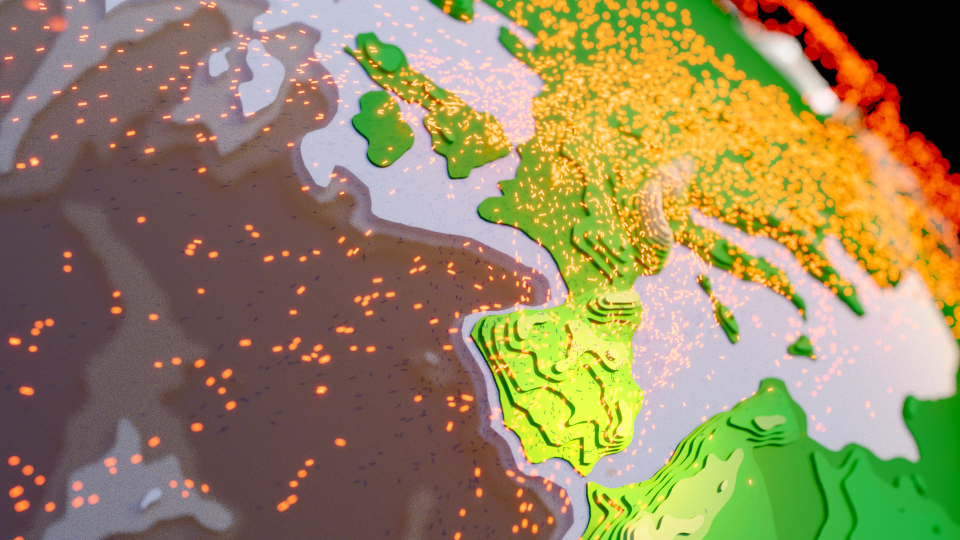
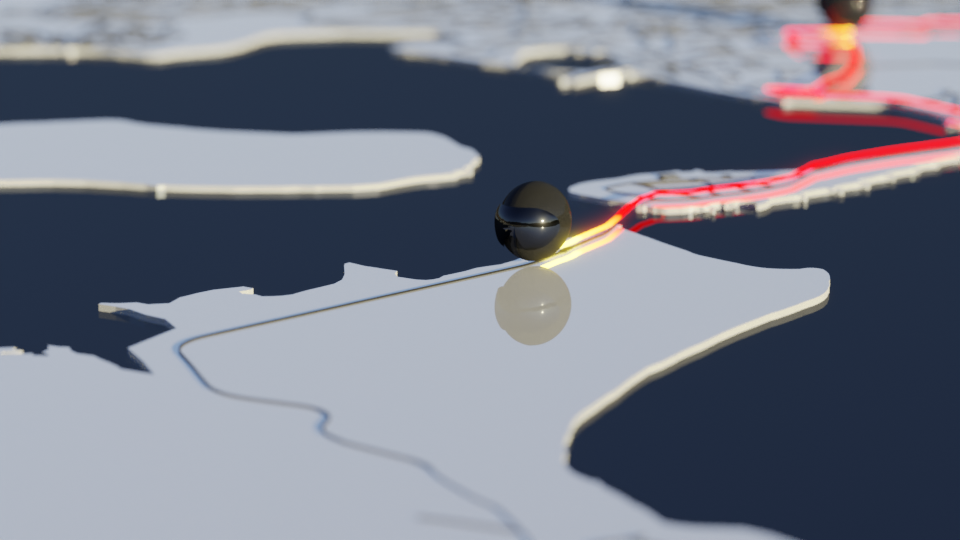
Once I started playing with a globe and showing flights, in the 30dayMapChallenge, I started to think about how I could build polygon world and overlay adsb flight data….
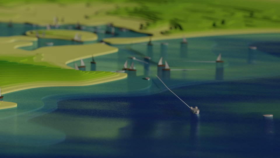
Poole Local Shipping Movements
Some projects take time, quite a lot of time. Since being inspired by Craig Taylor and the wider GIS community, I’ve been creating a series of geospatial animations in Blender based on real-world data. This post describes a concept that was almost a year in the making…
2021 Rides
2021 was an amazing year for cycling. Like many, I’d spent much of the winter on the turbo trainer avoiding group rides due to the pandemic. I’d followed a structured training plan and really felt the benefits as the country opened up in Spring. In total, I spent over 200 hours on the bike clocking up 5,600km with three 200km rides.
Isle of Purbecks
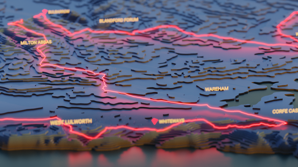
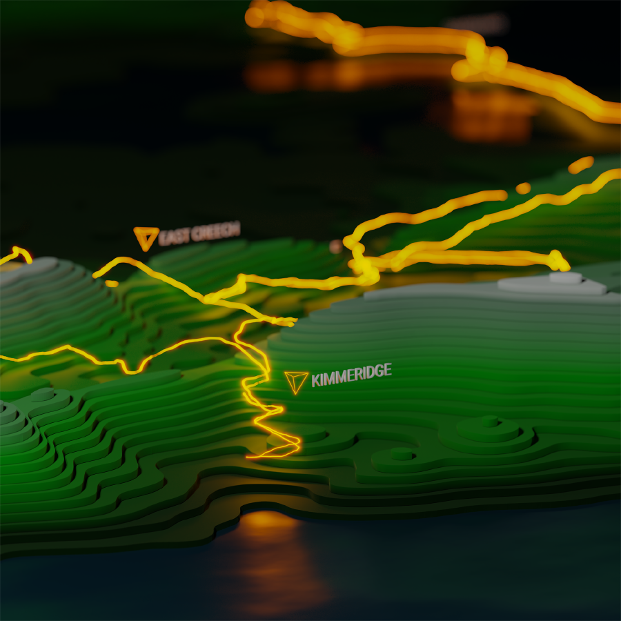
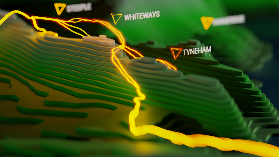
We are lucky enough to live near the Jurassic Coast with some of the most beautiful scenery in the country and amazing lanes for cycling. In need of some new artwork for my office wall, I’ve attempted to capture the landscape and road cycling routes as Tanaka 3D contours.
Tour of Britain
The Tour of Britain is coming to our local roads in Dorset and the Isle of Wight. This is, most likely, a once in a lifetime opportunity to watch the pro cyclists on the roads we ride week in, week out, all year round.
